ABOUT US

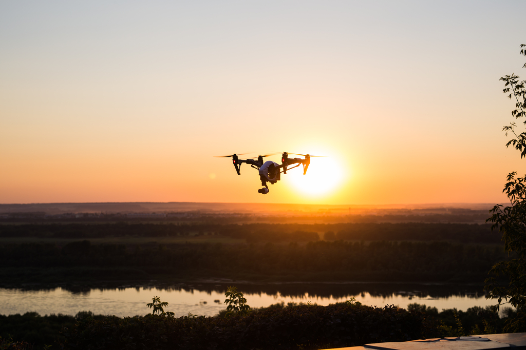
UASurveys combines conventional and modern technologies to achieve accurate, detailed and affordable surveys. 


Surveyors have established, longstanding and proven techniques to establish accurate property lines and topography.   In recent years,  the technology of UAV Lidar and Photogrammetry has grown at a fast pace and is clearly part of the future of Land Surveying and Civil Engineering.   


 UASurveys has the experience and knowledge to bridge the gap between traditional Land Surveying and Modern Geospatial and UAV Photography to produce highly detailed and accurate (survey grade) maps.


Our Services

  • Traditional Land Surveys (Large and Small) 
  • Topographic Surveys
  • Elevation Certificates
  • ALTA/NSPS Surveys
  • 2d Aerial Imagery (Orthomosaics)
  • 3d Modeling (point cloud, 3d mesh) creation
  • DSM Digital Surface Modeling
  • DTM Digital Terrain Modeling (bare earth, ground)
  • Site (construction) progress monitoring
  • Site hyperlapse and timeplapse photography
  • LIDAR point cloud processing
  • Flood depth comparisons


Development

UA Surveys can assist in all phases of development.   From initial survey to final Land Title Surveys and Asbuilts


No project it too small.

Call for a quote

uasurveys.net/request


Construction

Site or Construction Monitoring is where UAV (drone) technology has greatly improved in recent years.    This saves time and money for developers and contractors and prevents costly errors.  It also allows clients and investors to monitor their site remotely.

PROJECT HOSTING

UA Surveys will manage and cloud host your project files (up to 200gb) for 2 years for easy retrieval and monitoring of projects. 


*additional fees may apply

Previous Work